Western Ghats, Chikkamagaluru  ·  Monsoon

Kudremukha

A mountain wearing a horse's face, twenty kilometres of forest and grass and water, and rain that doesn't ask permission.

🏔️ 1894 m · 6214 ft
📍 Balagalu Base, Karnataka
🌿 20 km, up and back
🌧️ Peak Monsoon
1894 m
Summit altitude
Second-highest peak in Karnataka
20 km
Total trail distance
Balagalu, through Mullodi, and back
3
rivers born in this region —
the Tunga, the Bhadra, the Netravathi
The Story

The Mountain With
A Horse's Face

Kudremukha means horse-face. Look at the peak from the right angle and you'll see why — the rock curves like a muzzle, like the mountain was carved mid-gallop and left that way. It sits in Chikkamagaluru district, inside the Kudremukha forest reserve, and it doesn't let you forget you're a guest here. The base is Balagalu. The checkpost is at Mullodi. Everything after that belongs to the forest.

Twenty kilometres, ascent and descent combined. On a road, that's nothing. On this trail, in monsoon, it is a full-day negotiation with mud, water, and your own legs. Thick forest, open grasslands, streams that cross the path so many times you stop counting — that's the shape of Kudremukha. You don't walk through one landscape here. You walk through five, on repeat.
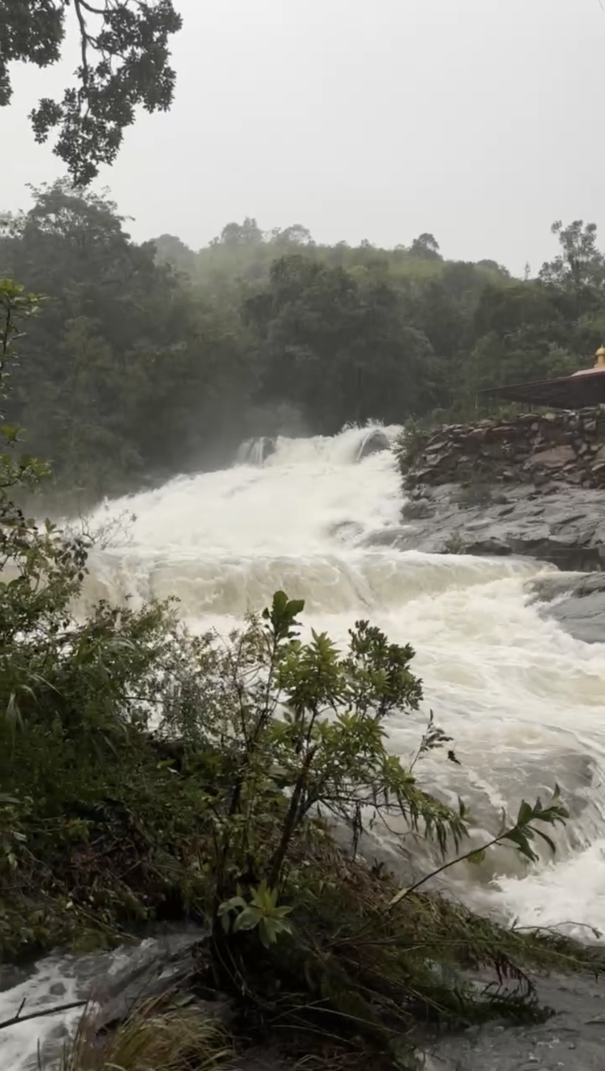
Nirmala at the Mullodi waterfall The muddy jeep road from Balagalu Waterfall near Mullodi
Balagalu to Mullodi. A muddy road, a roaring waterfall, and the trail hadn't even started.
01
Balagalu → Streams → Onti Mara
Monsoon · Forest, Streams, and the First Leeches
Checking for leeches on the Kudremukha trail
Dettol, salt water, and checking my socks more than felt necessary.

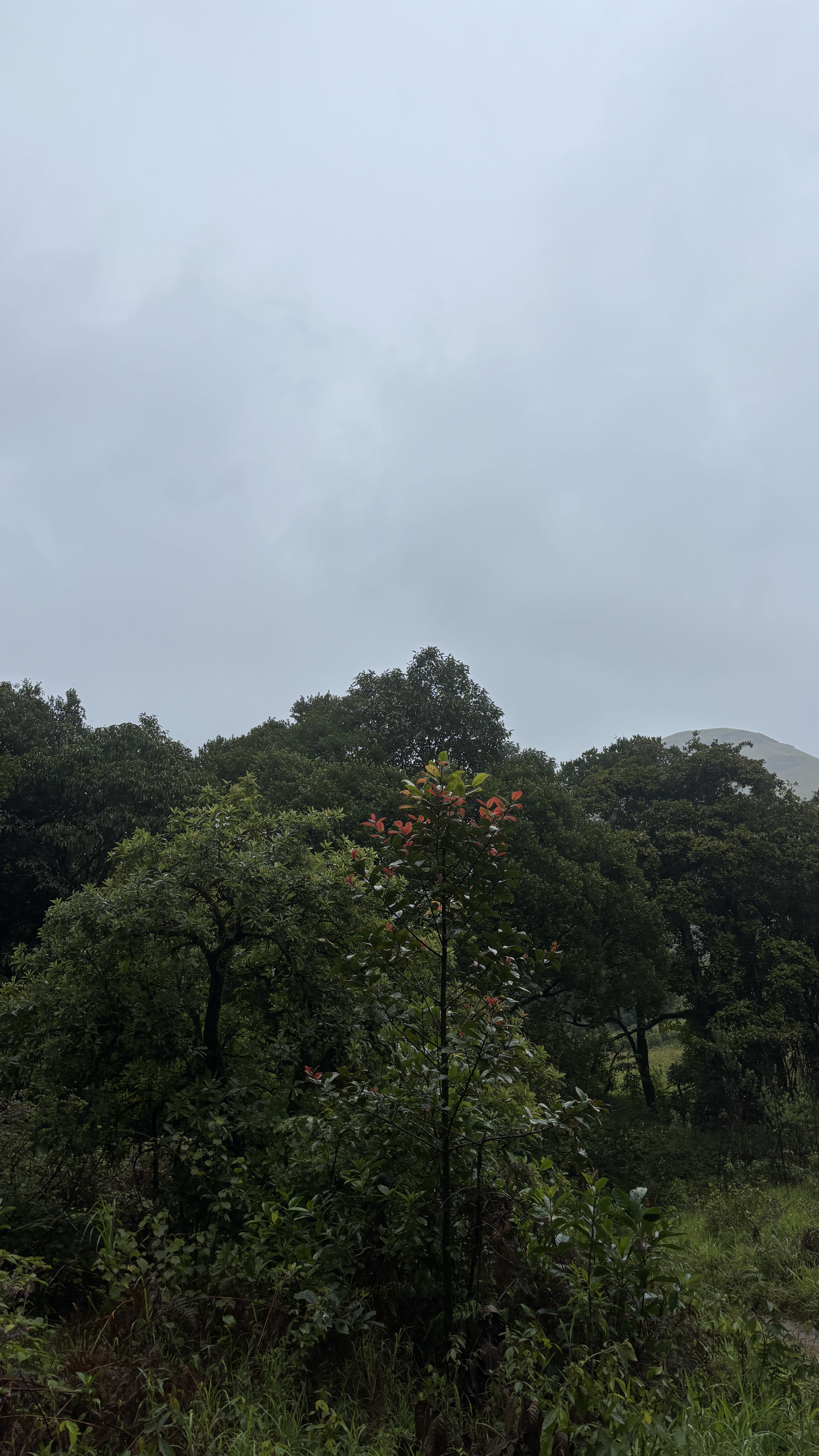
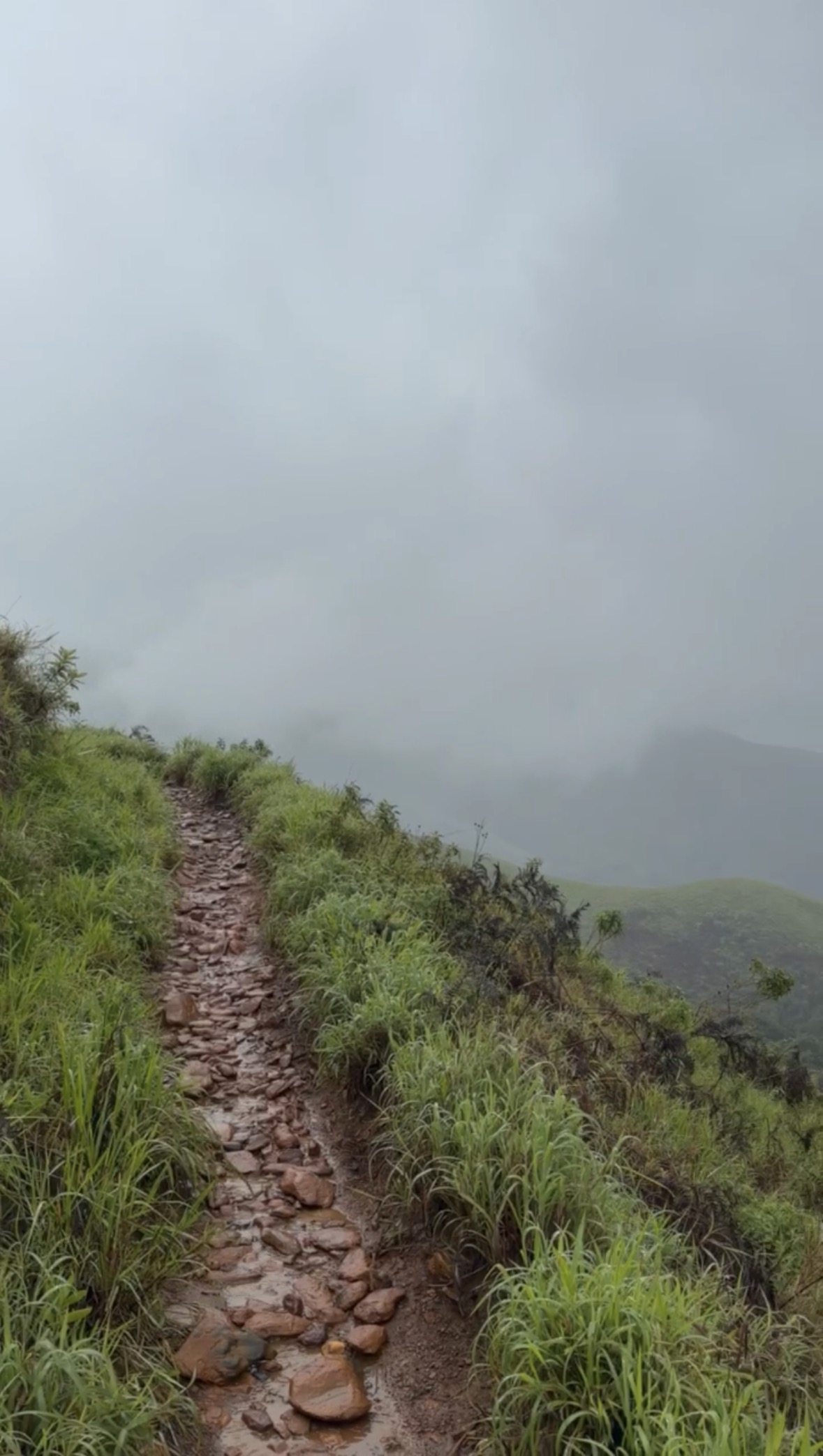
There's a single tree at the start, and then the forest entry point, and then there's no pretending anymore — you're in it. The first real obstacle is a stream crossing they call Nose Stream. You get through it. You think that's the hard part done.

It isn't. The thick forest trail comes next, where your boots and the mud start negotiating with every step, and that's exactly when the leeches show up. They don't announce themselves. They just arrive, small and sure of themselves, like they've been expecting you. Carry a bottle of diluted Dettol with salt in it — separate from your drinking water, always — and check your socks more often than feels necessary.

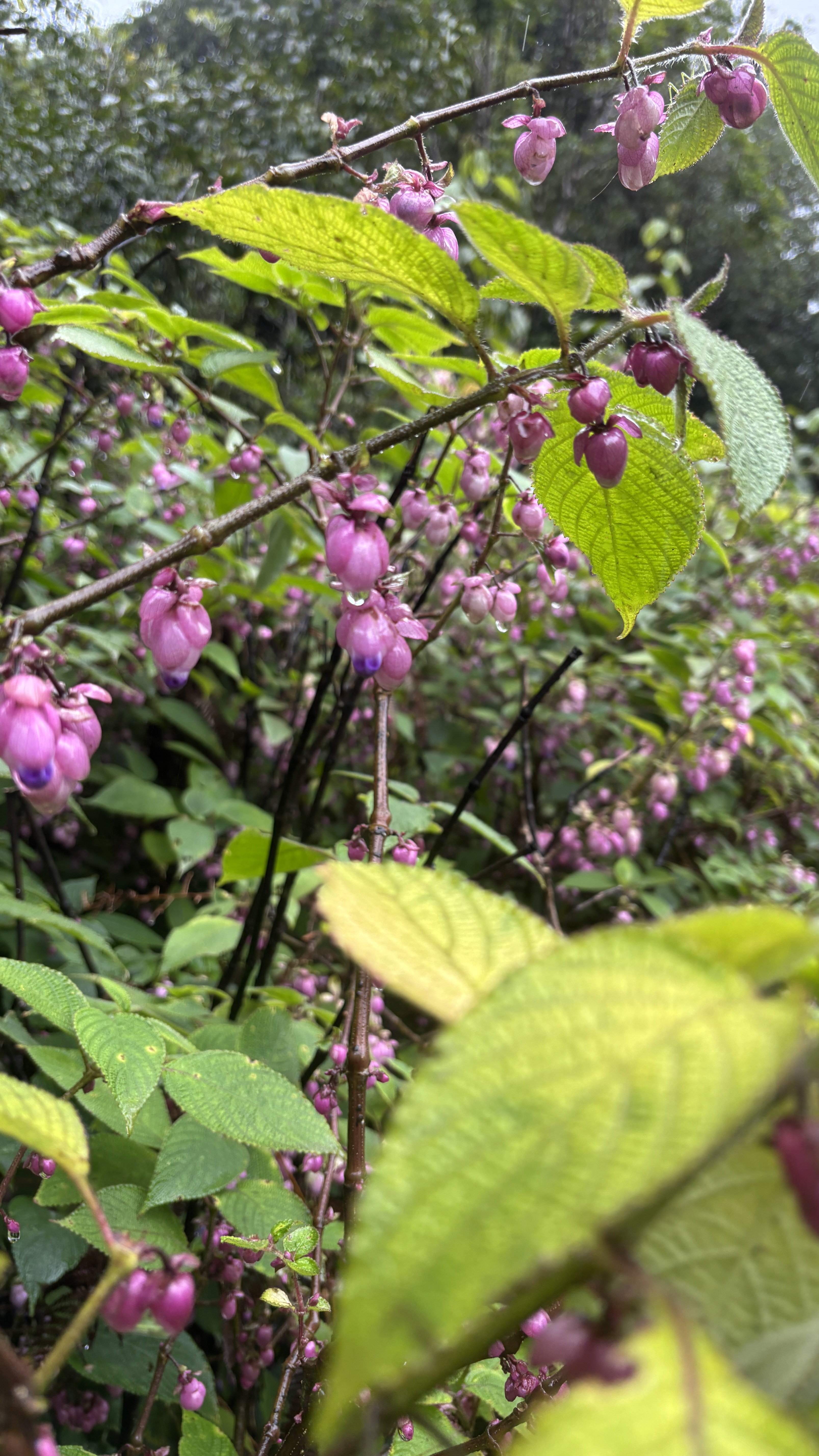
Then the trail opens. Grassland, then forest again, then a water crossing, and the whole pattern repeats — enough times that you stop tracking which stream is which. Purple flowers along the path. Birds you can hear but rarely see. And underfoot, mud so consistent it starts to feel like part of the trail's personality.
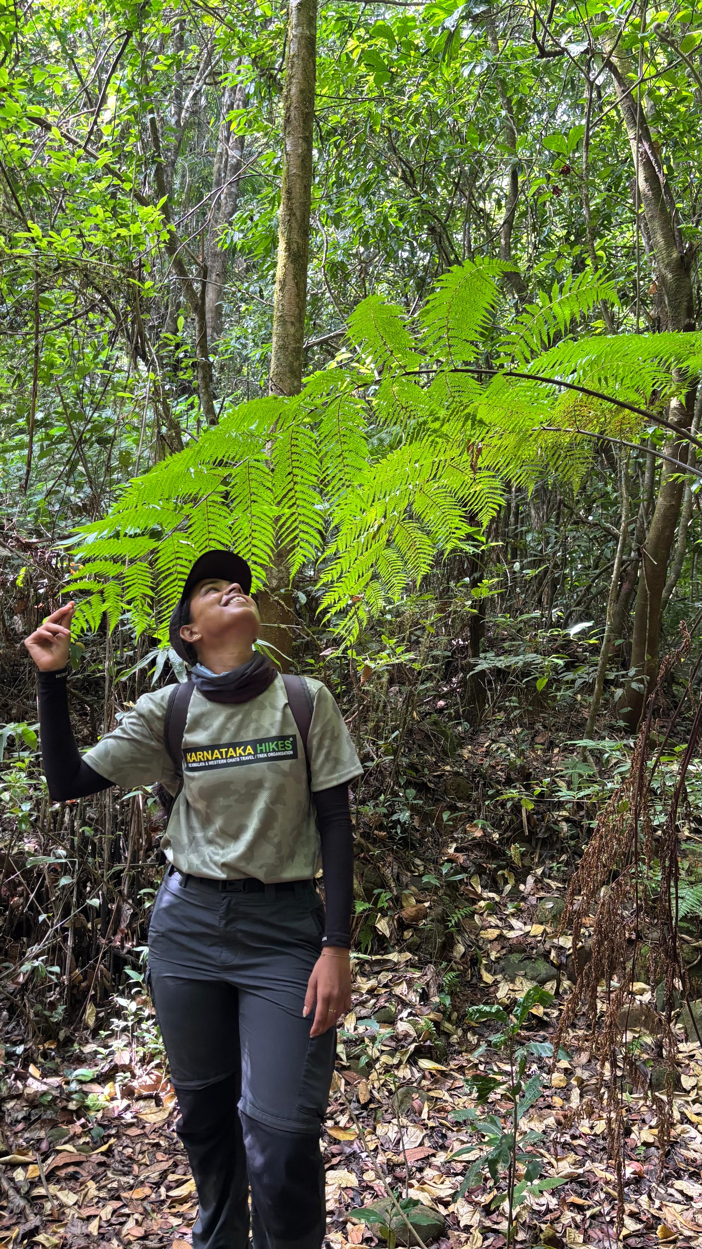
Nirmala in the Kudremukha forest Smiling on the forest trail
Five landscapes, on repeat. This was the forest one.
You stomp into a water-filled pond and something in you goes quiet and delighted at the same time. Like you're seven years old again and no one told you to stop.
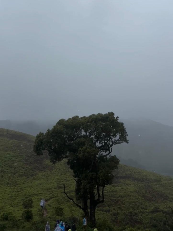
Onti Mara, the single tree on Kudremukha
Onti Mara. One tree, and grass that comes back green every year.

Onti Mara — the single tree, in Kannada — is the halfway point. Around it, shola grassland stretches out, the specialty of the Western Ghats. This grass survives summers that should kill it. It dries out, it browns, it looks finished. Then the monsoon comes and the roots — which hold water the entire time, even through the driest months — send the whole meadow green again like nothing happened. Onti Mara doesn't look dramatic. It just quietly refuses to die, every single year.
Shola grasslands near Onti Mara on the Kudremukha trek
Onti Mara country. The halfway point, and the first place the grasslands really open up.
02
The Zigzag Climb
60-Degree Ascent · A Waterfall No One Notices
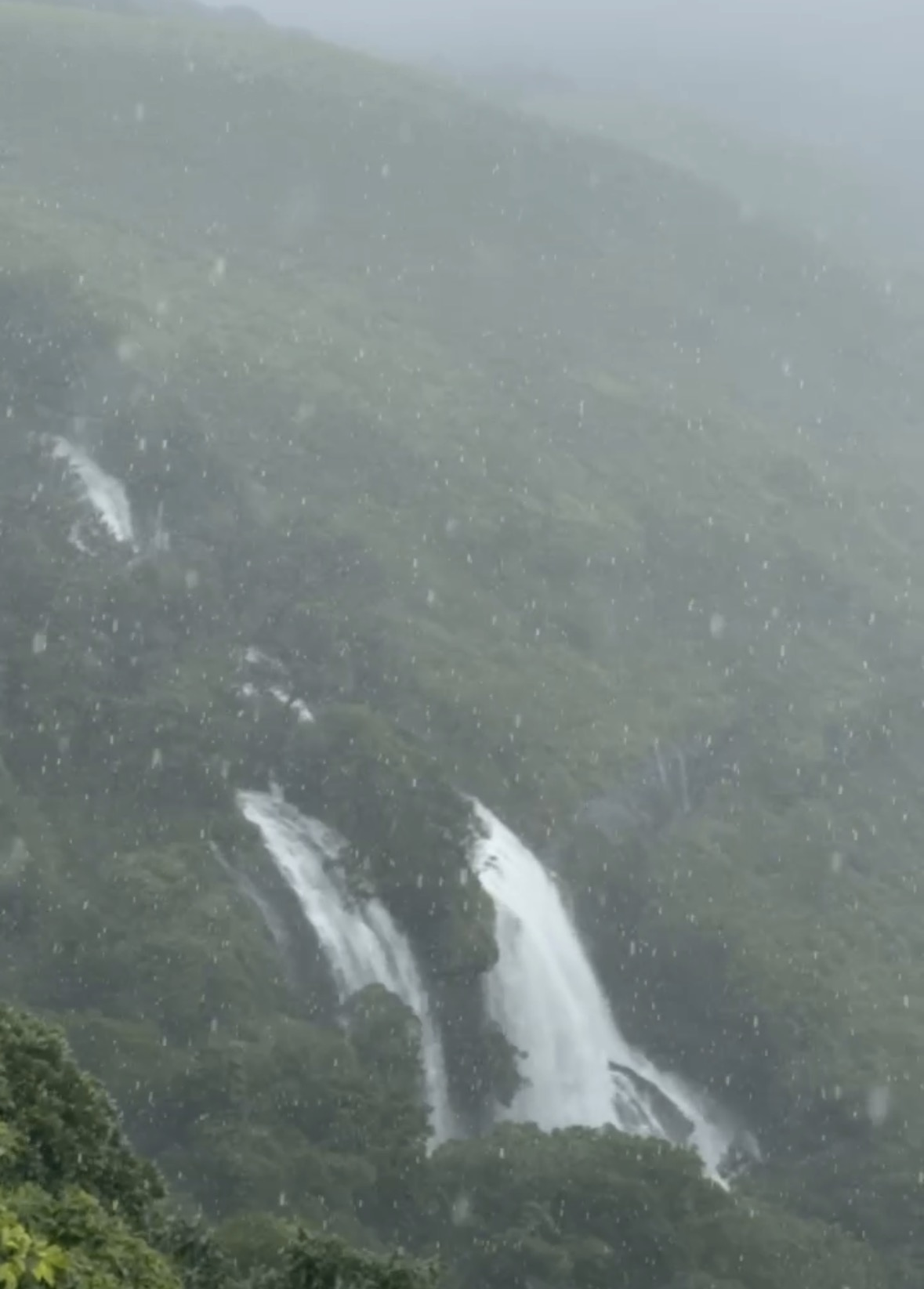
Hidden monsoon waterfall on the Kudremukha trail
One curve, easy to miss. Then a waterfall that only exists because of the rain that's soaking you.

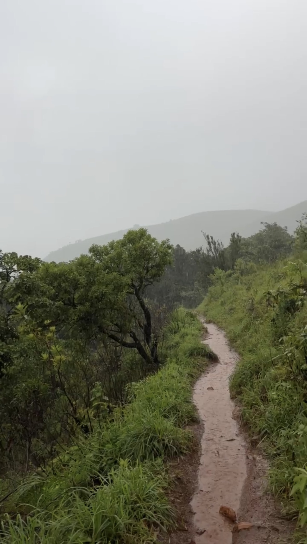
Past Onti Mara, the trail stops being gentle. The ascent steepens to something close to 60 degrees, and the path switches back on itself in a zigzag to keep the strain manageable. The soil here is loose, wet, and has no loyalty to your boots. Watching someone else slide is funny. Being the one who slides is not.

There's one last curve near the top of the zigzag that most people walk straight past — nothing marks it, nothing points to it. But in peak monsoon, there's a waterfall there. It exists because of the exact rain that's currently running down your collar. Raw, loud, completely unbothered by whether anyone sees it. You stand there for a second longer than planned.

03
The Summit
1894 m · Wind and Rain, Together, Fully

Past the zigzag, the trail moves through ridges and steep sections until it flattens out. On that flat stretch, there's one more small stream to cross before the final steep push to the top. Nothing about the last section is gentle — it saves its worst for right before the summit, on purpose or not.

At the top, the wind doesn't just blow — it pushes. It leans into you like it wants you gone. And the rain comes with it, sideways, hitting skin like it means to. I have trekked through a lot of the Western Ghats in monsoon. I have not felt wind and rain arrive together, at that force, anywhere else the way I felt it at Kudremukha's summit.
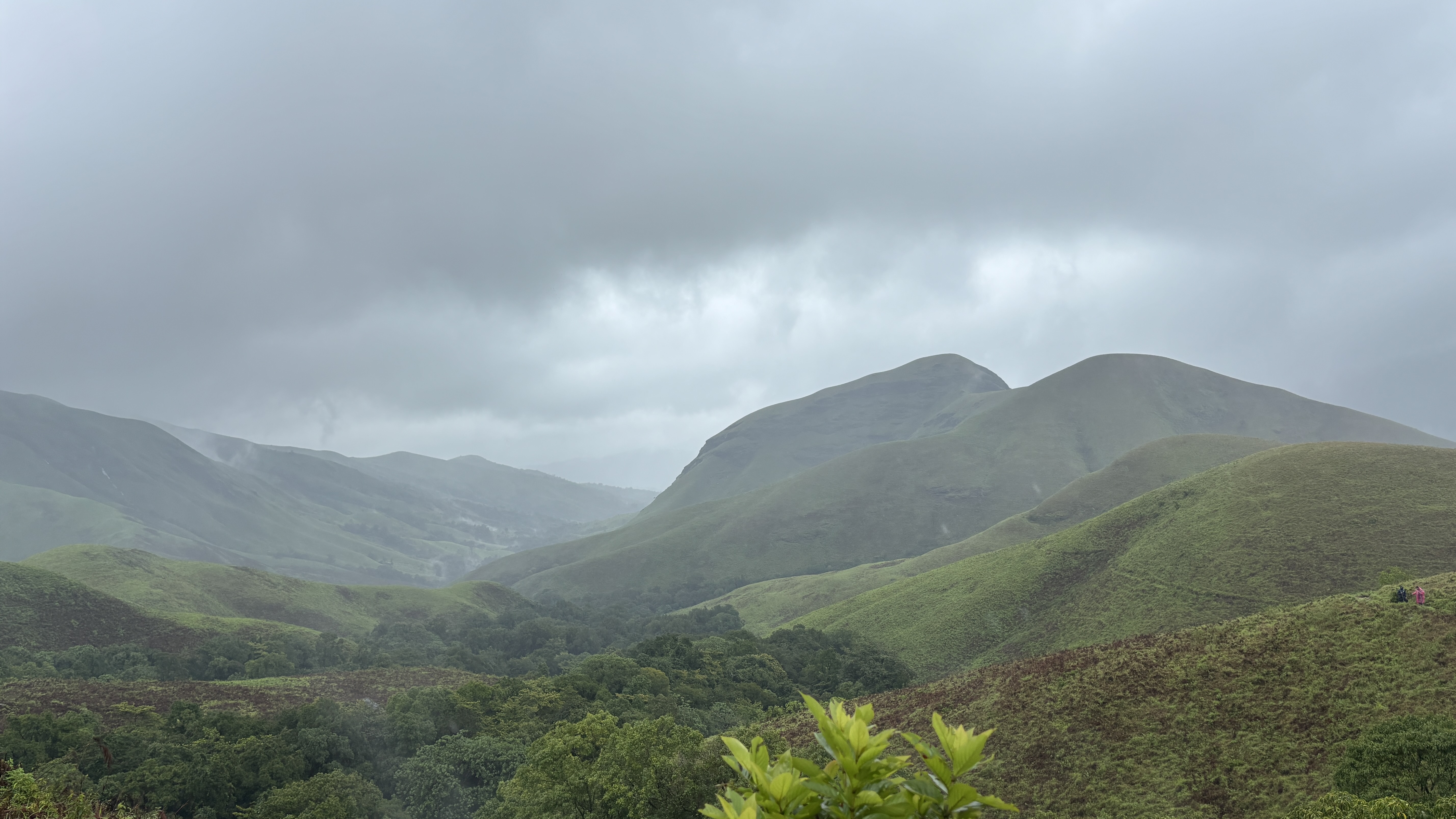
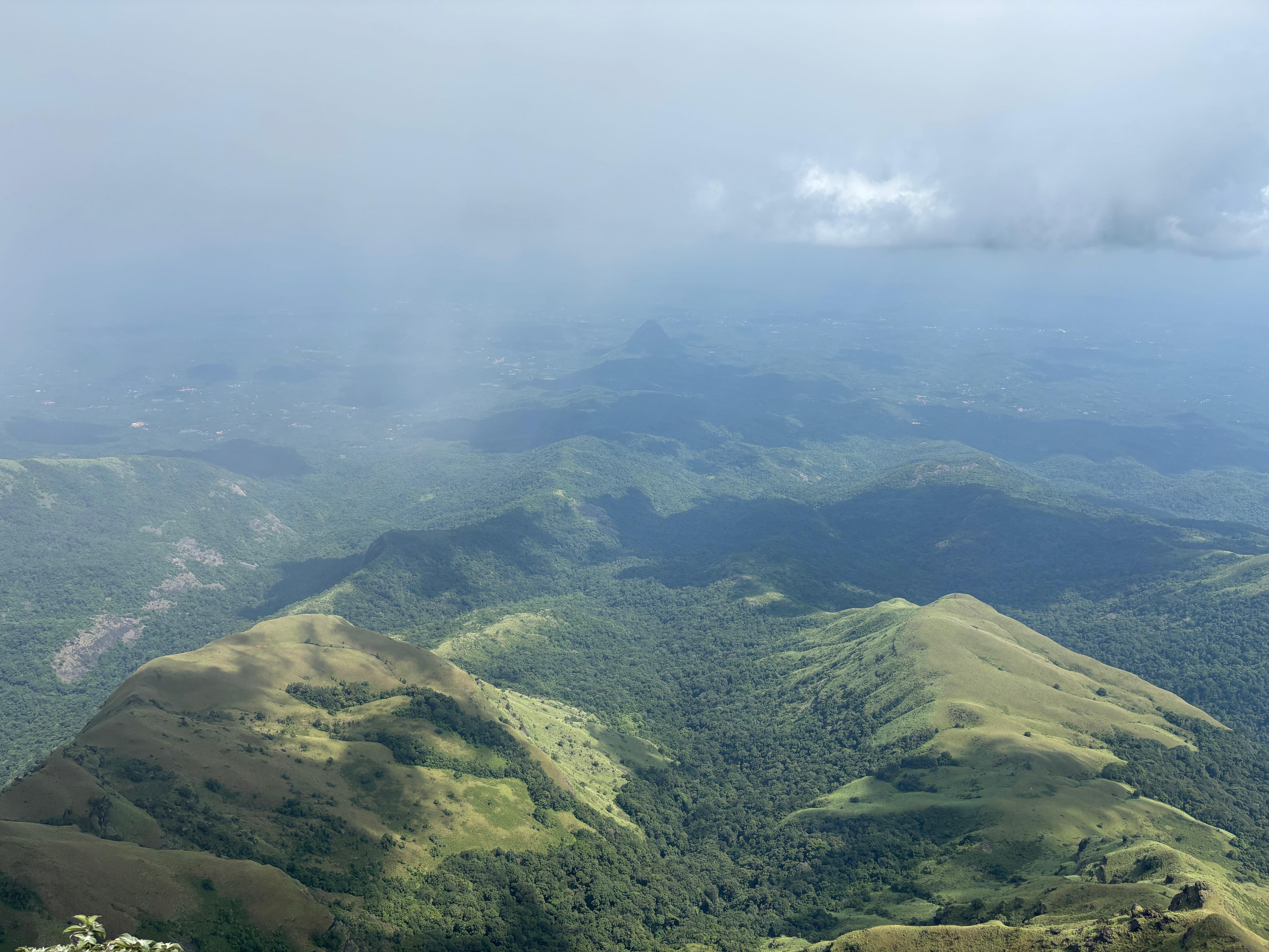
View from the top of Kudremukha
The view from the top, on the rare moment the cloud allowed it.
Summit 1894 m Second-highest point in Karnataka. Wind that pushes you back a full step. No shelter, no waiting it out.
Halfway Onti Mara The single tree. Shola grassland all around it, dead in summer, green again the moment the rain starts.
Waterfall Near the Zigzag No name, no sign. Only there in peak monsoon, on a curve most people walk past without looking.
Companions Leeches From the forest entry onward. Dettol and salt water, checked socks, and you learn to live with it.
The wind didn't ask if I was ready. It just pushed, and the rain went straight through my skin, and I stood there anyway.
04
The Descent — Streams That Grew
Balagalu, the Long Way Back
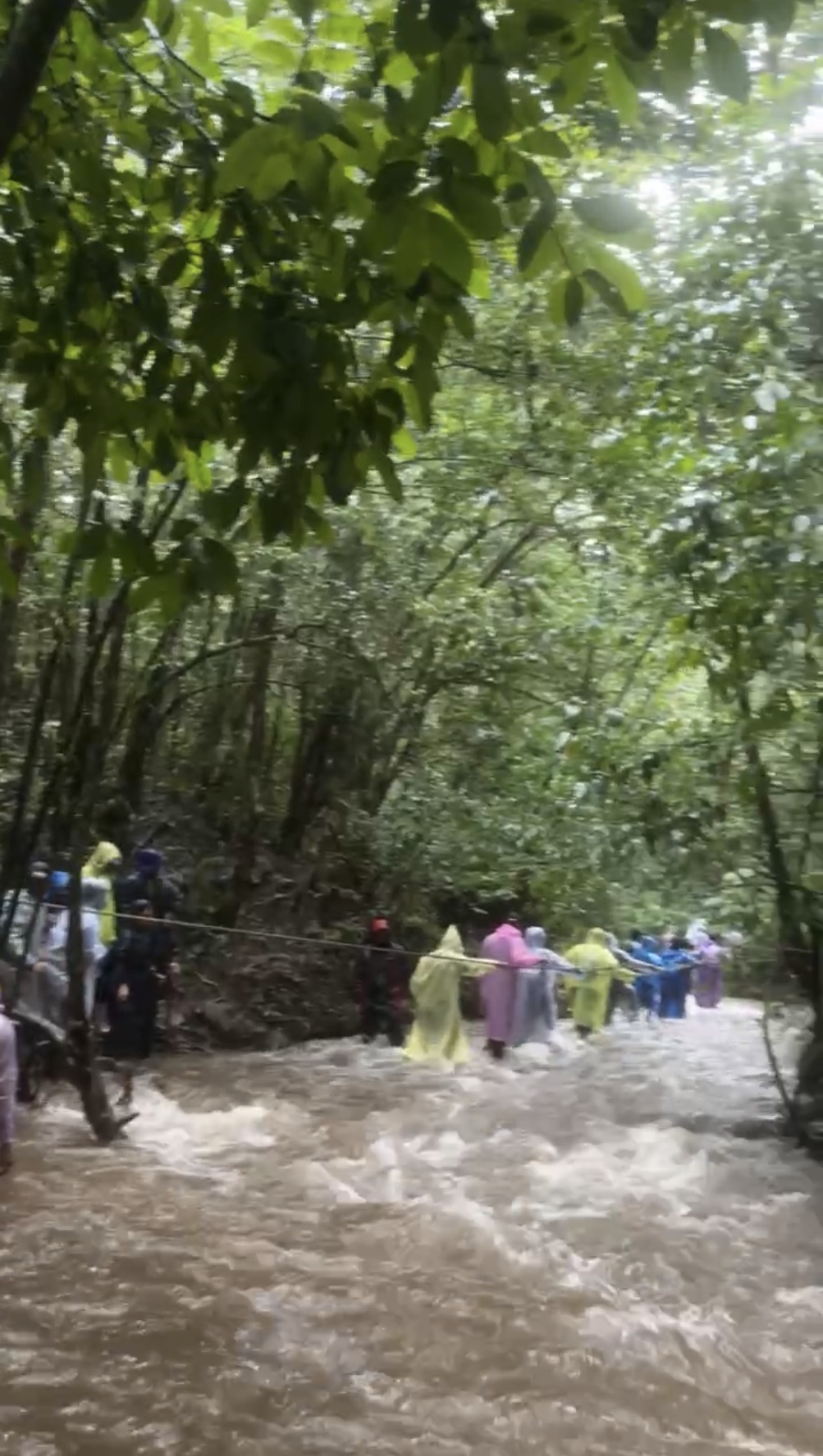
Trekkers crossing a flooded stream on the descent from Kudremukha
The small stream near the summit wasn't small on the way down. Local guides got everyone across.

The small stream we'd stepped over near the summit on the way up wasn't small on the way down. It had rained without stopping since morning, and what had been an easy crossing was now a real one — fast, full, and not interested in letting anyone through without a plan. We stood there for a while, waiting for it to settle. It didn't.

Local guides got us across. Not with rope or gear — with knowledge. They know this river's moods the way you know a friend's. Kudos doesn't cover it. Every stream we'd crossed on the way up had grown by the time we came back down, and every time, the same quiet, competent help got everyone through.

By the end, everyone was exhausted in the specific way only rain and altitude can produce — not the tiredness of a 20 km walk on flat road, but something else entirely. Boots full of water, a leech or two still trying its luck, mud that didn't care that we were almost done. That's how a Kudremukha trek ends. Soaked, tired, and completely certain it was worth it.
A mountain shaped like a horse's face,
and rivers born quietly in its hills —
I left with mud in my boots and none of it in a hurry to leave me.
— Kudremukha Peak, Monsoon
Trail Breakdown

How the Day
Unfolds

A long day trek from Balagalu via the Mullodi checkpost. Start early — 20 km in monsoon takes longer than the number suggests.

Phase Route / Section Altitude Distance
Pre Dawn · Checkpost
Balagalu → Mullodi Checkpost
Register at the checkpost. This is also where the single-tree starting point and forest entry begin.
~700 m
—
A Ascent
Mullodi → Stream crossings → Onti Mara → Zigzag → Summit
Forest, leech territory, shola grasslands, a steep zigzag climb, and a hidden waterfall near the top.
1894 m
~10 km
Mid Summit
Kudremukha Peak
Full-force wind and rain. No shelter. A short stream crossing just before the final push.
1894 m
—
D Descent
Summit → Onti Mara → Mullodi → Balagalu
Same streams, higher and faster. Local guides essential for crossings after sustained rain.
700 m
~10 km
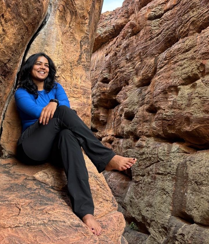
Nirmala — She Explores
About the Author

Getting Lost
to Find Myself

I'm someone who feels most alive in places where the trail gets quieter, the rain gets heavier, and the mountains strip life down to its simplest form. This blog is my honest account of walking through the Western Ghats — the slippery descents, river crossings, soaked boots, and the kind of silence only the mountains can give. Every trek leaves me with muddy shoes, tired legs, and a version of myself I understand a little better.

Kudremukha was the toughest twenty kilometres I've walked in the Ghats so far. It will not be the last time I walk them.

Treks done
Kudremukha ★ Netravathi Peak Bandaje Falls Trek Kurinjal Kodachadri
On the dream list
Annapurna Base Camp Manaslu Circuit Everest Base Camp K2 Base Camp
Leave No Trace

The Trail Gives.
Don't Take More Than You Should.

The grasslands at Kudremukha are protected forest. There are signs saying so. There were also three empty water bottles near the summit that weren't there when the signs were put up. The signs are still standing. The bottles were still there when I descended.

Scroll to read

🎒 What Goes Up, Comes Down

The mountain isn't managing your waste for you. Every wrapper, every bottle cap you drop stays there for years — the rain won't clear it, the wind won't move it anywhere better. If it came up in your bag going in, it comes back down in your bag going out. Not negotiable.

🧴 Not One More Bisleri

Three rivers begin in these hills — the Tunga, the Bhadra, the Netravathi — none of them starting out as plastic. Carry a steel bottle. Fill it where the guides tell you to. This mountain feeds half of Karnataka's water. It doesn't need yours made of plastic.

🍫 The Wrapper Outlives You

A biscuit takes a minute to eat. The wrapper takes 400 years to break down. The energy bar foil, the chips packet — none of it disappears because you left it on a rock at Onti Mara. Bring a small zip-lock for your trash. Take it all the way home.

🔇 The Forest Has Its Own Sounds

Birdsong, wind through shola grass, water finding its way downhill — that's the soundtrack this trail already has. Loud music stresses the wildlife and drowns out the only reason most of us climbed up here. Headphones exist. Use them.

🌱 One Shortcut, Ten Years of Erosion

The zigzag exists because someone worked out the path that damages the slope least. Cutting across it tramples roots that hold the whole hillside together. A hundred trekkers taking the same shortcut turns it into an erosion scar the next monsoon won't forgive.

🔥 The Forest Floor Took Decades

No fire unless there's a designated pit — and on this trail, there usually isn't one. The forest floor here took years to build itself into what it is. Pack a better layer if the rain gets to you. Don't burn what you can't rebuild.

🪨 You Are a Visitor Here

The purple flowers along the trail, the moss on the rocks near the streams — they belong to Kudremukha, not to your pocket. Take a photo if you need to remember them. Then leave them exactly where you found them, growing.

🐾 Your Photo Is Not Worth Their Fear

Kudremukha is a protected reserve for a reason — the wildlife here is genuinely wild, and genuinely shy of you. Don't follow, don't chase, don't feed. Step back, use your zoom, and let them stay exactly as unbothered as they were before you arrived.

Kudremukha is one of the most biodiverse places on earth. It is also disappearing.
What you do on the trail is part of that story, whether you mean it to be or not.